


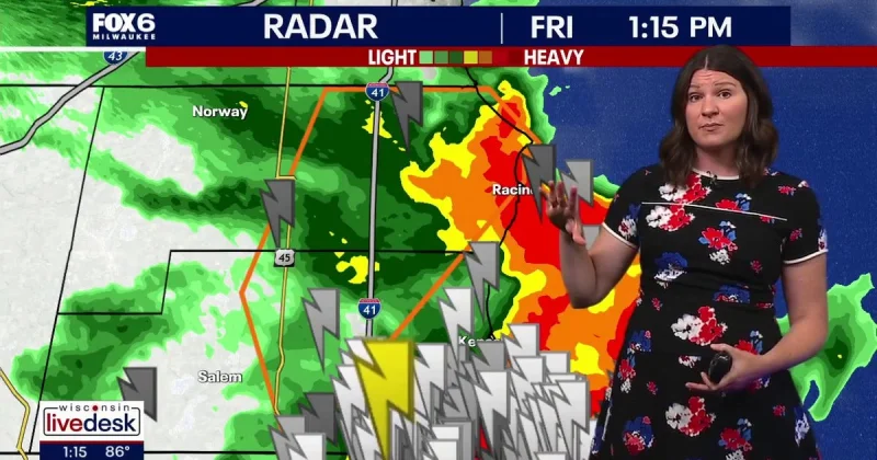
WMTV meteorologists declared today and the next couple of days First Alert Days for South Central Wisconsin as multiple rounds of rain and thunderstorms begin building into the region. The setup turns more volatile on Thursday night, with the risk of severe thunderstorms rising during the late afternoon and evening hours.
That matters now because people in South Central Wisconsin are being asked to plan around more than one storm window, not just a quick hit of rain. If storms organize into clusters, they can produce damaging straight-line winds and large hail, and some downpours could be heavy enough to cause minor localized flooding in low-lying areas or on roads with poor drainage.

The threat is not confined to one evening. Daily chances for rain and thunderstorms are expected to linger through the weekend and persist into the beginning of next week, with afternoon highs generally in the 80s and overnight lows only dropping into the middle 60s. That kind of warmth and humidity helps keep the atmosphere primed, which is why the forecast is carrying the First Alert Days label across several days instead of treating this as a one-off storm.
There is, though, a break in the pattern that keeps this from becoming a straight-line march of bad weather. Quieter conditions are expected on Monday and Tuesday of next week, with highs returning to the lower to middle 80s before a warming trend builds through the middle of the week. The question for the region is less whether rain returns than which part of South Central Wisconsin sees the first stronger storms and how much heavy rain falls before the calmer stretch arrives.
For anyone watching the forecast closely, the advice is straightforward: use the severe thunderstorm warning risk to make plans now, then adjust again as the storm clusters and downpours take shape. The pattern is unsettled through the weekend, but by Monday and Tuesday the weather eases, and that calmer window may be the first real chance to reset after several days of repeated rounds of rain.
