


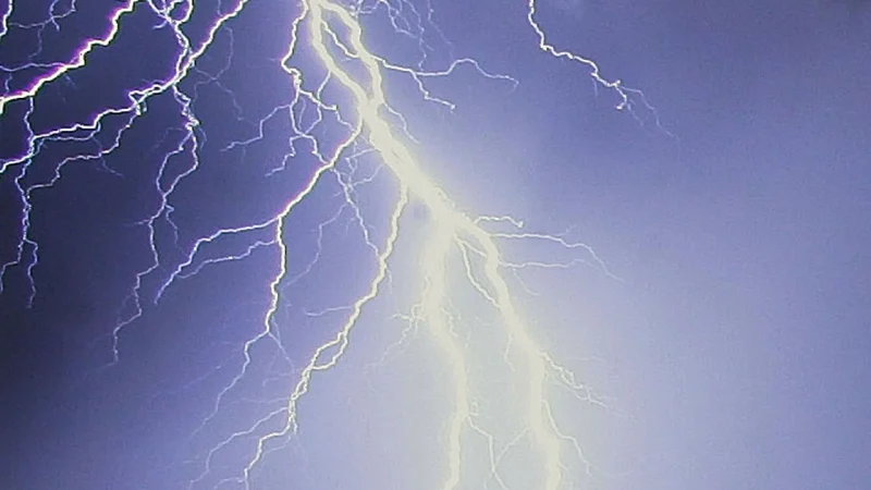
Thunderstorms threatened portions of Northern and Central NY on Tuesday afternoon, and by Tuesday PM a severe thunderstorm watch covered most of the area. Localized warnings were also in effect at times, turning a broad weather alert into a more immediate concern for people already in the path of the strongest storms.
The watch meant conditions were favorable for thunderstorms that could produce damaging wind and hail, while a warning meant one of those storms was more likely to bring damaging wind and hail within the warned area, and possibly an isolated tornado. Severe thunderstorms are defined by wind of at least 58 MPH and hail as large as quarter-sized, with destructive wind damage possible at 80+ MPH.

That is why the alert level mattered on Tuesday PM. A watch does not mean every community will be hit, but it does mean the setup is there for severe weather to develop fast, and localized warnings showed that some storms were already strong enough to trigger a higher level of alert while the broader watch remained in place.
The difference also shaped what people needed to do next. A severe thunderstorm warning can bring imminent danger from large hail, damaging winds, lightning and torrential rain in the path of the strongest part of the storm. If an Emergency Alert goes off on a phone or TV for a severe thunderstorm warning, people should seek shelter immediately. Anyone outdoors should get inside a home, strong building or car without waiting for the storm to arrive overhead.
The unresolved question was not whether the weather risk existed. It was where the next warning would land, because the same storm setup that produced localized warnings could also generate new ones as storms intensified across more of Northern and Central NY.
