


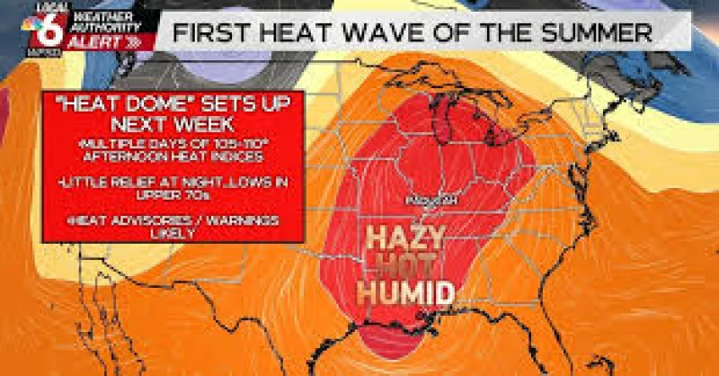
An Extreme Heat Warning goes into effect this afternoon across eastern Iowa and stays in place through Tuesday evening as heat and humidity build after morning storms move out. The warning lands on a day that starts wet and cloud-covered, then turns dangerous fast once the rain clears.
That timing is what makes the forecast stand out. Showers and storms moved into northwestern Iowa this morning and were tracking into eastern Iowa later in the morning, with isolated damaging winds and a quarter-sized hail threat in the mix. By the early afternoon, the rain and cloud cover were expected to move out, and temperatures were forecast to spike across southern Iowa. Highs today were expected to reach the upper 80s and low 90s, but the air will feel far hotter than that south of I-80, where triple-digit feels-like temperatures are possible.

The warning matters because the heat is not a brief burst. Overnight temperatures were only expected to fall to the mid 70s, leaving little relief before Monday brings highs in the low to mid 90s and triple-digit feels-like temperatures across all of eastern Iowa. Tuesday was expected to look similar to Monday, and winds were expected to stay breezy into Tuesday before calming for Wednesday. People in eastern Iowa are being asked to deal with a stretch that begins with storms and ends with oppressive heat, a combination that can catch attention only after the cooler part of the day has already passed.
That is the friction in the forecast: the morning rain briefly eases conditions, but it does not break the pattern. The cooler start gives way to dangerous heat, then holds there for days. Highs were expected to remain in the low to mid 90s through next weekend, with storm chances returning Tuesday and through the weekend. This is not a one-day spike. It is a multi-day heatwave forecast that begins this afternoon and runs through Tuesday evening, with the hottest-feeling conditions arriving after the morning storms are gone.
