


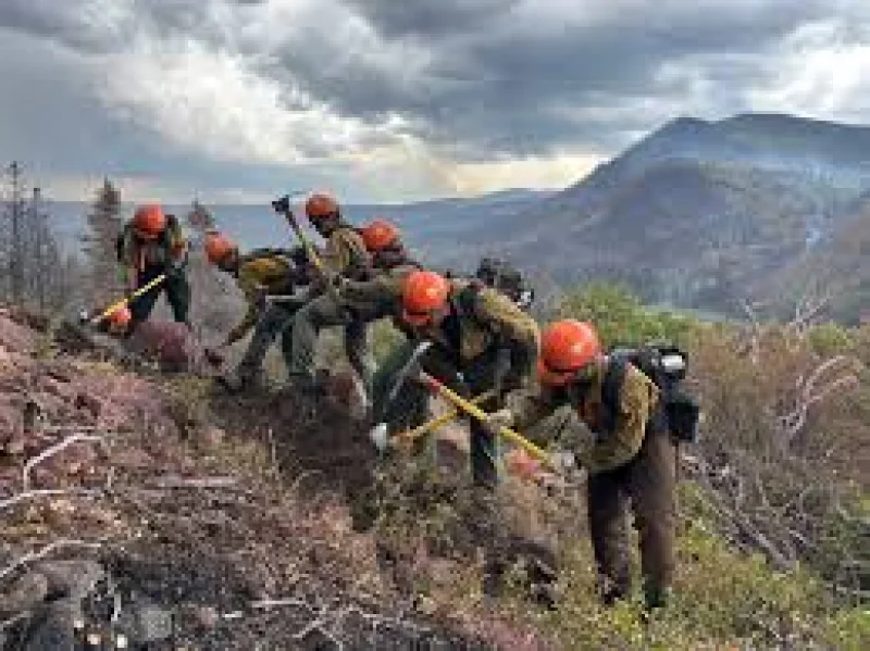
The Cottonwood Fire near Beaver surged past 70,000 acres on Friday and remained at 0% containment, with officials saying crews were unlikely to gain ground for several more days. Residents at Eagle Point Resort, Merchant Valley, HiLo Estates and Arrowhead Summer Homes were still under evacuation orders as the blaze pushed through difficult terrain and threatened hundreds of properties.
The fire was first reported Monday afternoon, and by Tuesday the Federal Emergency Management Agency had approved funding after calling it a major disaster that threatened more than 300 homes. By Wednesday at 12:01 p.m., a Forest Service closure order was in effect, and Rocky Mountain Power had de-energized lines in the area, warning people to prepare for an extended outage.

Gov. Spencer Cox said there was a very good chance the fire was already the most destructive in Utah history, a measure that can include the number of homes threatened, the scale of forced evacuations and the breadth of damage to roads, utilities and natural areas. The fire was described as human-caused, and extreme drought appears to have primed the landscape for rapid growth.
That dryness is what makes the firefight so hard. Officials said the terrain is so challenging that containment is expected to stay at 0% for several days, even as the blaze keeps expanding. Cox warned that fires can move a mile or two in five, 10 minutes, and said people told to evacuate should not wait around.
For residents in Southern Utah, the damage is no longer limited to the burn line. Smoke exposure, power shutoffs and the threat of flooding and mudslides from burn scars now hang over the region, and the next measure of this fire may not be acreage at all, but how many homes and communities it leaves behind intact.
