The Met Office released its three-month summer outlook on 1 June and said the UK now has a higher-than-normal chance of hotter weather in June, with the full June-to-August period carrying an increased risk of heatwaves and heat-related impacts.
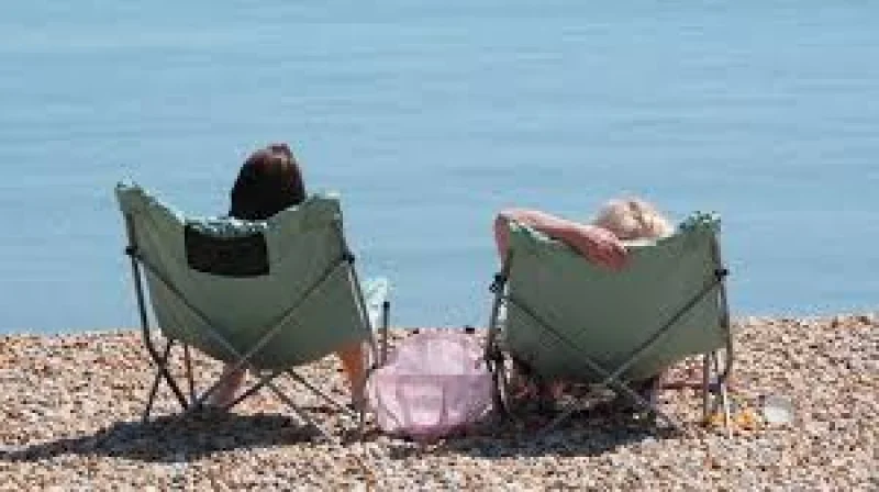
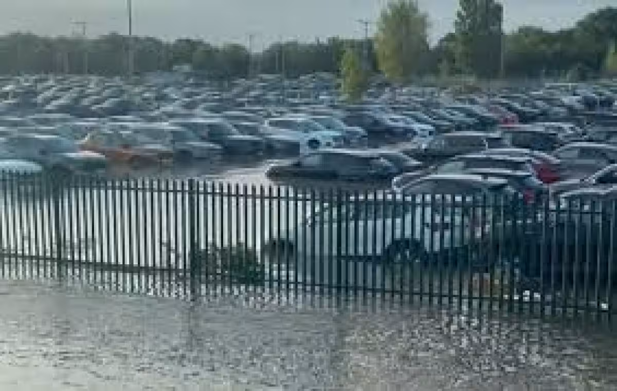
That matters now because the country is entering meteorological summer on the back of a late spring heatwave that already pushed temperatures high enough to set records and strain services. In the south-east of England, mains water supply issues appeared last week as demand surged in hot weather, while yellow and amber heat health alerts were issued for the first time this year.
The numbers give the warning some weight. A new all-time May temperature record of 35.1C was set at Kew Gardens, London, beating the previous mark of 32.8C from 1944. The Met Office said a hotter summer is now twice as likely as during the 1991-2020 reference period, a shift that points to a season where heat may return more often, even if it does not arrive in one long, clean stretch.
For the months ahead, the outlook is not a simple forecast of relentless heat. The Met Office said the chance of a wet summer was slightly higher than normal, with the wettest conditions more likely towards Scotland, where rainfall could be around average. MeteoGroup was looking the other way on rainfall, predicting below-average precipitation overall, especially through June and July across England and Wales, while also expecting above-average temperatures in each of June, July and August and significant bursts of heat across the UK and Europe.
That split leaves the most important part of the forecast unresolved. Both outlooks point to a warmer-than-usual season, but they do not agree on how much rain will fall or where the balance between heat and showers will land. What is clear is that the first month of summer has begun with the UK already exposed to heat, and the next test will come in how long that pattern lasts through June, July and August.