


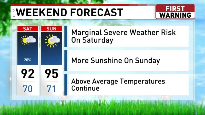
Oklahoma heads into a stretch of stormy, hot and unsettled weather, starting with a lingering storm early tonight and lows near 70 degrees before the heat climbs back fast. Sunday and Monday are expected to bring mostly sunny skies and highs in the upper 90s, even as a stray shower or storm could still pop up.
That change matters now because the forecast for Lawton and surrounding parts of Oklahoma is setting up a week that swings from one end of summer to the other. After the hot start to the week, Tuesday stays warm in the low 90s with isolated showers and storms possible, and by Wednesday through Saturday the pattern turns more active again, with widely scattered to scattered showers and storms and highs in the upper 80s to 90 degrees.

The mix is what makes the outlook harder to pin down. Sunday and Monday look hot and mostly sunny, but they are not locked into dry weather, and a stray storm could still break through. That leaves the region in a familiar late-spring pattern: enough heat to build instability, enough moisture to keep rain chances alive, and not enough certainty yet to say where the stronger storms might set up.
The forecast also points to a broader active weather pattern continuing through next week, which means the next real shift comes Wednesday and lasts through Saturday. For anyone planning around outdoor events, travel or work in Oklahoma, the key takeaway is simple: the immediate danger is not just one storm, but a run of hot days and repeated chances for showers and thunderstorms that stretch into next weekend.
