


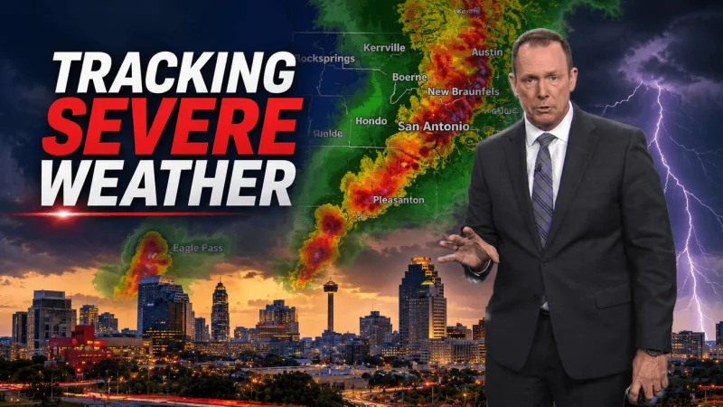
A tornado warning was in effect Tuesday night for parts of Bexar County until 10:30 p.m., while another warning covered parts of Atascosa County as a fast-moving round of storms pushed through South Texas. The main hazards were large hail and damaging winds, with flooding also a concern as rain chances climbed overnight.
For people in San Antonio, the warning was paired with a Flood Watch that stretched through Wednesday morning for the city and the Hill Country, west along Hwy 90 to Del Rio. A Severe Thunderstorm Watch also remained in place until 9 p.m. from Medina County west to Val Verde County, and in Bexar County it was valid until 6 a.m. Wednesday.
The weather setup made the evening feel unsettled before the stronger storm chances arrived. Forecasters called for a 30% chance of rain in the afternoon, rising to 80% overnight, with highs between 86 and 90 degrees. Winds were expected to run 7 to 14 mph, adding little relief to the warm, sticky air that often fuels thunderstorms in the region.
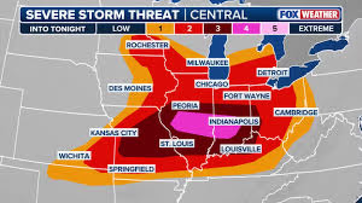
The threat level for strong winds and hail was rated Level 1 to 2 out of 5, which put the region in a lower-end but still active severe weather pattern. That did not remove the risk of isolated dangerous storms. It meant the most serious problems were expected to stay scattered, not widespread, but the ingredients were there for damaging bursts of wind, large hail and localized flooding.
Wednesday’s forecast called for patchy clouds with a few leftover showers or thunderstorms in the area, along with a 40% chance of rain and highs from 81 to 85 degrees. Winds were expected to increase to 10 to 20 mph. By Thursday, the outlook turned a bit quieter, with a 20% chance of rain, a partly sunny sky and an isolated shower or thunderstorm possible, while highs rebounded to 86 to 90 degrees.
The immediate question for San Antonio and the surrounding counties was not whether the storms could produce trouble, but how many communities would be in their path before the watches and warnings expired. With tornado warnings, a flood watch and severe thunderstorm watches all overlapping, the safest reading of the forecast was straightforward: the night was not over for severe weather.
