Severe storms tore through the Philadelphia region late Wednesday afternoon, bringing down trees and wires and snarling the evening commute just as the city was coming off record heat. SEPTA regional rail reported systemwide delays during the peak commuting period, and the transit agency said the storm’s winds knocked out service on its Paoli-Thorndale and West Trenton lines.
At least four trees came down along SEPTA’s rails, and flash flooding hit near the Jenkintown rail station. SEPTA warned riders to expect systemwide delays of up to an hour as crews dealt with the fallout from the storm, which also sent flooding onto I-476 near the Broomall-Upper Darby exit and led to lane restrictions.
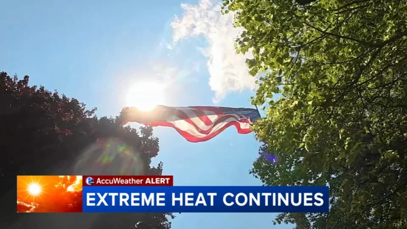
The storms landed after an unusually hot run for May. Philadelphia reached 98 degrees on Tuesday, a record for all of May, and then hit 95 degrees on Wednesday, setting the record for May 20. That heat set the stage for a fast-changing pattern that was expected to keep the region unsettled through the holiday weekend.
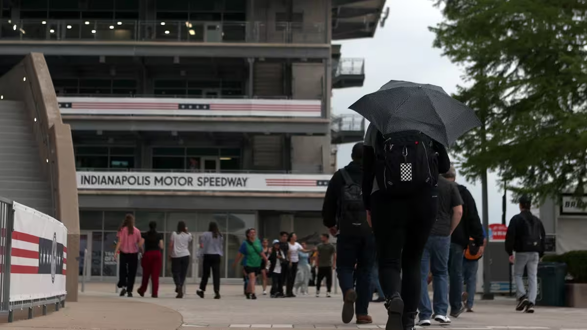
Eric Hoeflich said computer models were “bullish” on significant rain into Thursday, perhaps up to an inch. The storm center listed a 15% chance of severe thunderstorms for Eastern Pennsylvania, all of New Jersey and northern Delaware late Wednesday and Wednesday night, a reminder that the atmosphere still had enough energy to keep producing scattered trouble after the first round rolled through.
Thursday’s high was likely to come just after midnight, then stay in the low and mid-60s during the afternoon. Some rain was possible every day through Monday, and temperatures were expected to keep swinging far below the week’s earlier peak. By Saturday, Philadelphia may not get out of the 50s, with AccuWeather calling for a high of 54 and Hoeflich saying Saturday looked like the worst day of the holiday weekend.
He described the stretch ahead as “rainy, windy, raw,” and added that the weekend could feel especially bleak “if it’s rainy and it stays cloudy and dreary the entire time.” Sunday was expected to bring some rebound on the mainland and at the Shore, before temperatures climbed back into the 70s by Memorial Day.
The bigger picture is a region that had been parched before the storms arrived. Rainfall across the area over the last 60 days had been about 40% of normal, and the May monthly total at PHL was just 0.43 inches before the expected rain. That dry ground may help explain why the first good burst of moisture also brought flash flooding and rail problems so quickly. The question now is less whether the weather will change than how much of the long-dry spell the coming rain can erase before the holiday ends.