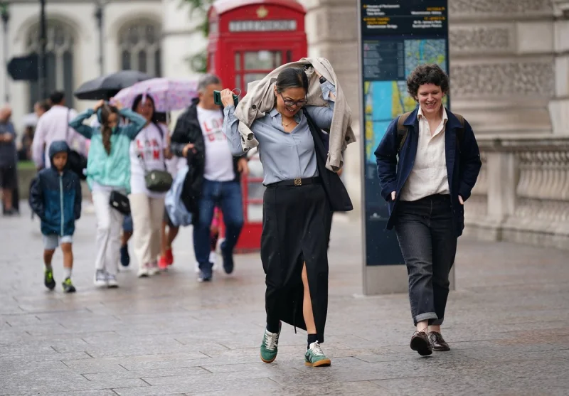
Thundery showers and heavy rain are set to hit London from around 1pm on Monday before the capital turns toward a sunnier, much warmer stretch later in the week. Thunderstorms are forecast to sweep over the city on Monday afternoon and into Tuesday, with thick cloud and heavy rain moving in from the west on Monday evening.
By Tuesday, London is expected to face more blustery showers, with rainfall forecast throughout much of the day according to the Met Office. The showers should clear by midday, but light rain is still expected in the afternoon and temperatures are due to hover around 16C for most of the day.

The pattern then begins to shift. Temperatures are set to rise to 24C on Thursday, before climbing into the late twenties on Friday and Saturday, when highs of 27C are forecast. Sunday should be only slightly cooler at 25C, and sunny spells are expected to continue into bank holiday Monday.
Craig Snell said the first half of the week remains “changeable, if not unsettled” across parts of the UK, with temperatures at the start of the week still “a little subdued for the time of the year.” He added that a change is expected as the weekend approaches, and said the best of the sunshine across the bank holiday weekend will probably be across England and Wales.
The contrast matters because the week begins with rain, cloud and cooler air, then ends with genuine heat for the time of year. That makes the timing of the warm-up important for anyone planning travel, outdoor events or a break over the bank holiday. The Met Office and Weather are aligned on the broad trend: a rough start, then a brighter finish. For London, the answer is simple enough. The unsettled spell arrives first, but the 27C weekend is the real story.