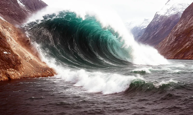
A summer 2025 landslide in Tracy Arm fjord in southeast Alaska unleashed a tsunami that stripped vegetation from the opposite shore and left a stark scar visible from space. The event, which culminated on the morning of August 10, 2025, sent at least 64 million cubic meters of rock sliding into the water after the rapid retreat of South Sawyer Glacier.
The wave tore trees and other vegetation from the fjord wall up to 1,578 feet above sea level, while shore and island areas farther down the fjord also suffered major damage. Sawyer Island, about 6 miles from the slide, turned from green to brown, and only a few trees still stood on its higher elevations after the water passed.
NASA-USGS Landsat satellites captured Tracy Arm on July 26 and again on August 19, and the contrast was stark. In the later image, the bright landslide scar on the north side of the fjord stood out, along with a 'bathtub' ring showing where the forest had been leveled by the wave. Dan Shugar, who led the study published on May 6, 2026, in the journal Science, said the image pair made the scale of the destruction impossible to miss.
Shugar and colleagues combined satellite, airborne and ground-based observations with eyewitness reports and simulations in the months after the slide. Their analysis found that the water kept sloshing around the fjord for more than a day, and that the landslide and the seiche generated seismic signals detected around the world. The landslide-produced signal was equivalent to a magnitude 5.4 earthquake.
There was no loss of life. Kayakers camping on Harbor Island near the fjord's mouth had their gear swept away, and passengers aboard a small cruise vessel in neighboring Endicott Arm reported swings in water levels and a strong current as the tsunami moved through the system. The evidence points to a close call rather than a catastrophe, but one that exposed how quickly a retreating glacier can turn a steep fjord wall into a hazard.
Tracy Arm is a glacial fjord shaped over millennia by ice, but the rapid retreat of South Sawyer Glacier exposed open water and left the slope more vulnerable to failure. Landsat images showed the front of the glacier retreating sharply in less than a month, with part of that change occurring before the landslide and part of it caused when the slide broke off a large chunk of the glacier's terminus. The result was a slurry of icebergs packed into the fjord and a landscape stripped bare in a matter of minutes.
That is why the event matters beyond one remote inlet in Alaska. Brentwood Higman said a glacier's shift from relative stability to renewed retreat, visible in satellite images, could serve as an important indicator that an area has become more susceptible to landslide and tsunami hazards. In Tracy Arm, the warning was written across the hillsides in brown ground, broken forest and a scar that satellites could see from orbit.