A fast-moving wildfire named the Western Fire was burning in Randall County on Friday and forcing evacuations, road closures and outages across the Texas Panhandle. By afternoon, the fire had grown to an estimated 1,000 acres with no containment, and officials said it was moving east-northeast at 3 to 5 mph.
At 2:21 p.m., dangerous wildfires were reported nine miles northwest of Happy, or 13 miles south of Canyon. By 3:56 p.m., eastbound FM 1151 was closed to Rocker K Road and residents in Pullman Acres were told to prepare to evacuate. A temporary evacuation shelter was set up at the Cole Community Center at 300 16th St. in Canyon.
The pressure on the county kept building as the day went on. Around 5:21 p.m., the Hunggate and Chocolate Chip fires merged and were nearing I-27, while multiple dangerous fires were reported in Randall and western Armstrong County at 5:25 p.m. Nearly 35 power outages were affecting close to 4,500 customers. In response, I-27 was closed in both directions from State Highway 217 to Hunggate Road, and FM 1258 and FM 1151 were closed at SH 207 in Armstrong County.
The fire threat spread well beyond one road or one community. Areas impacted included Canyon, Umbarger, Happy, Lake Tanglewood, Palo Duro Canyon, far southeast Amarillo and Wayside. Residents near Cemetery Road, Circle J Road and the River Falls Airport area were told to leave voluntarily, and River Falls airport was also being evacuated. US 87 was closed from just south of Canyon to Hunggate Road because of an area grassfire, with the Randall County Sheriff's Office saying the closure stretched from Canyon to FM 1714 because of the ongoing fires and low visibility.
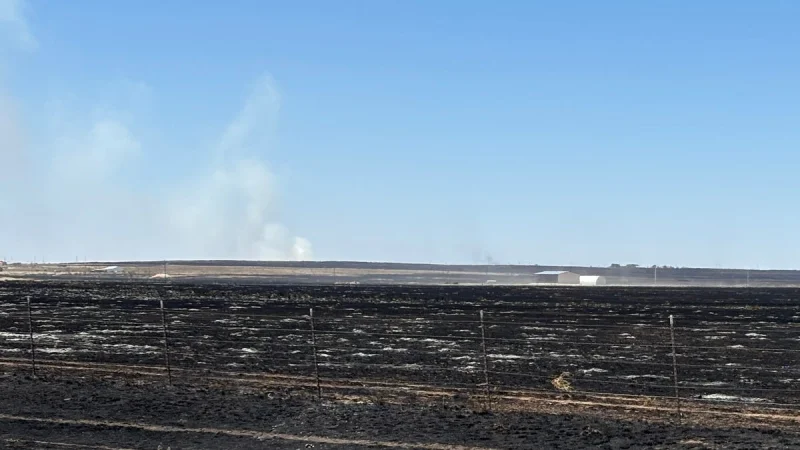
Palo Duro Canyon State Park was closed and under immediate evacuation, another sign of how quickly the fires were moving through an already stressed area. Thursday’s storms had helped set the stage for multiple fires, and Friday brought another round of severe storms that threatened more lightning- and wind-driven flare-ups. The weather pattern kept fire danger critical, with a red flag warning still in effect, while crews fought hot spots, flare-ups and smoke that sent pyrocumulus clouds over the Panhandle.
By Friday evening, the Texas A&M Forest Service incident map showed around 10 active fires in the Texas Panhandle and South Plains, a picture of a region under siege. The immediate question was no longer whether the fires would spread, but how far they would move before crews could get enough on them to slow them down.