


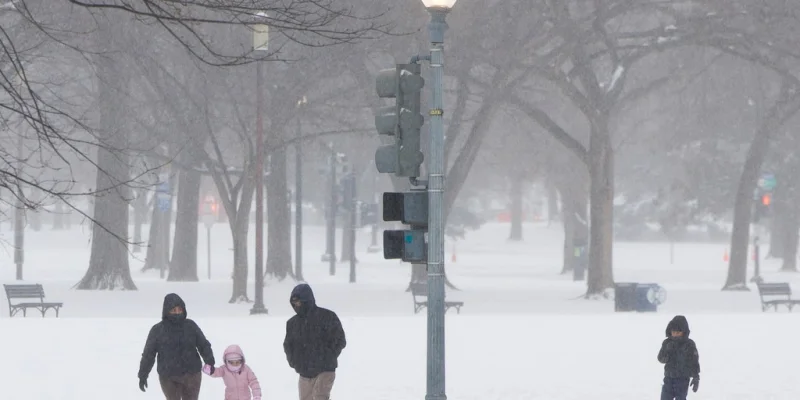
The polar vortex is shifting in November, but it is not lining up for a hard Arctic blast across the United States. Instead, the first and second weeks of November are expected to bring lower temperatures to parts of the country, along with wetter conditions in several regions.
That is why people are watching the El Niño Polar Vortex now. October was unusually warm across much of the northern half of the nation, and the early-November turn will be a sharp enough change to matter for day-to-day planning, from rain gear to heating bills.
Alex DaSilva said the jet stream will develop big buckles over the Northern Hemisphere over the next couple of weeks, which is the kind of pattern that can usually open a path for frigid air to slip south. But this time, the setup is different enough that the coldest air is not expected to dive into North America in force. Temperatures will trend lower in parts of the United States later in the first and second weeks of November, yet the biggest drops during the first half of the month are more likely to skip the Northern states and evolve over the Southwest.
Brett Anderson said the true cold air in the pattern will be directed to Siberia rather than North America, and that helps explain why the early-November chill in the United States is likely to feel more like a cool, unsettled change than a deep freeze. Multiple rainy days are ahead for much of the East during the first couple weeks of November, while wet conditions are also set to persist in the Southwest and expand over the South Central states.
The setup is unusual because the air in northern Canada is not all that cold to begin with, so even a weakening polar vortex is not automatically enough to send a bitter shot of Arctic air south. A stronger vortex tends to keep frigid air locked up near the Arctic Circle; a weaker one can loosen that grip. Here, the early-November storm track looks more likely to drive rain and scattered cool spells than a truly frigid outbreak.
Joe Lundberg said the blocking pattern in the jet stream may break down enough to allow some chillier air episodes to move southward into the United States during the latter part of November and December, and that is where the more meaningful cold risk shifts. He also said some ski resorts open for Thanksgiving in the East may have a lack of snow and especially cold air to make their own snow, a reminder that the first cold snap of the season is not always the one that matters most. The pattern may cool a bit more in the second half of November, but the sharper turn toward winter still appears to be waiting.