Hurricane Rachel is weakening over the open Pacific, but forecasters still expect it to swing back toward land later this week and push dangerous surf toward Southern California. The National Hurricane Center said the storm was about 405 miles from the tip of Baja California, with wind gusts of 85 mph and movement to the west at 8 mph.
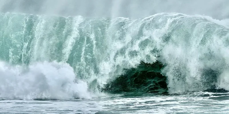
That is why the storm is being watched so closely today. Rachel is still generating life-threatening surf and rip currents along the Baja California coast, and even as it weakens it could send large swells toward Southern California beaches later this week, when beach conditions can turn quickly and small changes in storm track can matter. Rachel briefly became a Category 3 hurricane earlier this week, then began losing strength, but it remains a serious coastal threat because ocean swells travel far beyond the center of the storm.
The storm is expected to turn back toward Mexico between Friday and Saturday and likely reach the coast as a tropical storm. A dip in the jet stream steering Rachel back land could also pull moisture into parts of the Southwest, adding another layer of concern even as the hurricane itself fades in strength.

The challenge is that weakening does not make the hazard disappear. Rachel could still send enough swell to cause problems along beaches in Southern California, where swells from Hurricane Marie caused coastal erosion last month. That is the part forecasters are trying to pin down now: how much of Rachel’s energy survives the trip north, and whether the hardest-hit beaches see only rough surf or something more damaging.
Elsewhere in the Eastern and Central Pacific, the season remains busy. Invest 92E off southern Mexico is expected to strengthen into Tropical Storm Simon over the next two days and could eventually track into Mexico, with computer and AI forecast models suggesting it may dump significant rain along Mexico’s western coast. The National Hurricane Center is also watching another area behind Invest 92E, though it gives that system low odds of developing over the next seven days.
Rachel’s path should become clearer between Friday and Saturday, but the bigger story may be what reaches shore after the center weakens: surf, rip currents and the kind of coastal pounding that can still leave a mark long after the hurricane itself has passed.