A very strong El Niño is moving to the center of the winter outlook, and forecasters say it could change how the U.S. gets through the cold season. The system developing along the equator in the Pacific is expected to be strong enough to reach into the jet stream and, possibly, the polar vortex.
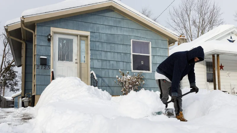
That is why meteorologists are already looking at the 2026 El Niño winter impact now, while it is still summer. El Niño tends to bring wetter-than-average conditions across the South and less snow around the Great Lakes, interior New England and the Pacific Northwest. The National Oceanic and Atmospheric Administration says this event could be among the strongest in modern record, which is enough to make winter forecasts more complicated than usual.

Judah Cohen, a researcher at MIT, said the atmosphere can respond in layers, not all at once. El Niño drives changes in the high- and low-pressure patterns in the troposphere, the lowest layer of Earth's atmosphere where weather happens, while the Arctic polar vortex is tied to the jet stream higher up. When those pieces line up, the result can be felt far from the Pacific, including in the Eastern U.S. and parts of North Carolina. Cohen said the changing setup is what makes the seasonal forecast worth watching.
But the link between the two systems is still not settled. Scientists do not yet fully understand how El Niño and the polar vortex interact, even though stronger El Niño events tend to have greater interactions with other large climate forces. Amy Butler of NOAA's Chemical Sciences Laboratory said the surface impact from sudden warming in the stratosphere can last for several weeks, and El Niño can raise the odds of those events. A sudden warming can weaken the polar vortex in mid-to-late winter, but if the vortex stays strong, the season is likely to run mild overall, except possibly along the West Coast. If it weakens and is buffeted by El Niño, the result could be a sharper outbreak of severe winter weather.
That leaves the key question not whether El Niño will matter, but how much. If the forecasted strength verifies, the biggest swings are most likely to show up where El Niño already tends to leave a mark: the South, the Great Lakes, interior New England and the Pacific Northwest. What forecasters still do not know is whether the polar vortex will stay intact or break down when winter is at its coldest, and that answer may decide whether this season is merely unusual or memorable.