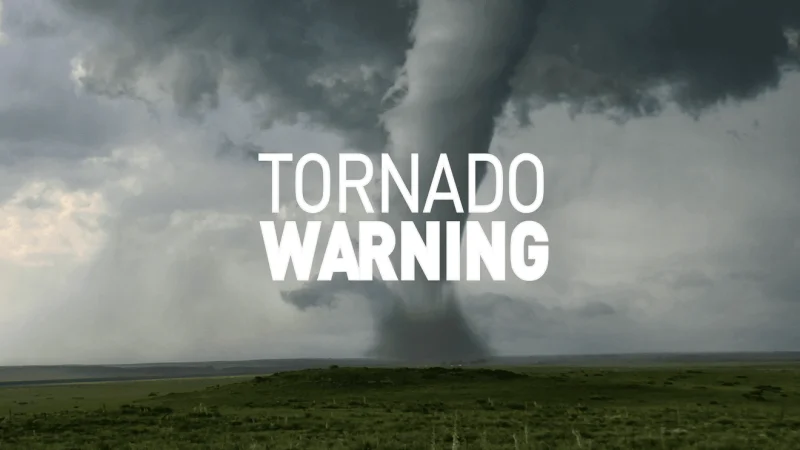
An early evening tornado warning covered parts of Vinton, Gallia and Meigs counties in Ohio and Mason County, West Virginia, from 6 until 7 p.m., but the storm never showed much evidence of a touchdown. What did stand out was how quickly it changed: a scrawny 10,000-foot shower built into a 45,000-foot severe thunderstorm in about half an hour.
That fast rise is why residents in Vinton and the surrounding counties were watching the sky so closely. The storm moved along the Mason-Meigs line with an impressive hail and strong wind signature, the kind of profile that can look more dangerous than it ultimately proves to be. Even so, it lacked a true signature of rotation, and the weak spin it seemed to suggest never turned into a touchdown.

By 7:30, the system had faded back to a weak shower on the Jackson-Mason line. That matters because the warning was not an isolated burst of bad weather; it was likely the first in a series of storms that will keep the region on high water and thunder alert all week. The next round is expected Tuesday, when waves of storm warnings, including some for tornadoes and others for flash flooding, are likely as low-pressure approaches from the west.
The bigger concern now is what the rest of the week can do to the rivers. Before the week is out, enough rain is expected to fall over a broad enough area to push some small rivers into flood and bring major rises on the Great Kanawha and Ohio rivers. The unanswered question after this first warning is not whether the storm looked severe — it did — but whether the next round will bring the flooding that this one only threatened.