


Farmers' Almanac has released its 2026–2027 winter weather forecast, and it points to a season that could look very different depending on where people live. Caleb Weatherbee, who prepared the outlook, says the country may see sharp contrasts, with repeated storms in some regions and milder stretches broken up by sudden cold snaps in others.
The release matters now because it is setting expectations before winter arrives, giving readers a first look at where wet weather, snow, and sharp temperature swings may land. The forecast is built on the same core proprietary formula the Farmers' Almanac has relied on since 1818, the one first developed by founding editor David Young and handed from one forecaster to the next, then refined with satellite observations, computer modeling, current meteorological data, historical analogs, and large-scale ocean and atmospheric patterns.
El Niño is expected to remain an important influence through the heart of the season, and Weatherbee says that should favor wetter-than-normal conditions across much of the southern United States. An active storm track may stretch from Southern California and the Desert Southwest through Texas, the Gulf Coast, and the Southeast, bringing frequent storm systems, muddy fields, and occasional surges of cold air. When colder air meets abundant moisture, some storms could produce sleet, freezing rain, or heavy, wet snow, while the southern Rockies may fare especially well for mountain snowfall.

Farther west and north, the picture is less uniform. Across much of the West, northern Plains, Upper Midwest, and Great Lakes, temperatures should average near normal overall, but that does not mean a quiet winter. The forecast calls for fast-moving clippers, sudden cold snaps, and brief snowy periods in those regions, with milder breaks interrupting the wintry weather. Farther north in the Plains, Midwest, and Great Lakes, Weatherbee also sees sudden snow squalls, blustery winds, and bursts of bitter cold, while the middle of the country may swing quickly between thawing and freezing, changing road and field conditions almost on the fly.
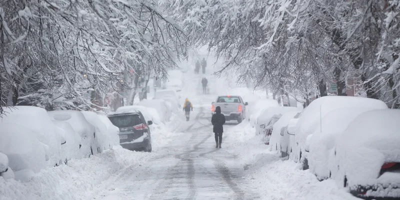
The Northeast could face one of the season’s most complicated patterns. Coastal communities may get more rain or mixed precipitation, while inland areas could be hit by several rounds of heavy, wet snow, especially during January and February. Small shifts in storm tracks and temperatures could make the difference between rain, sleet, freezing rain, and accumulating snow. The Pacific Northwest may have a more changeable and less dependable snow season, and the northern Plains and Upper Midwest could turn drier at times when the southern storm track dominates, even as brief but intense periods of cold, wind, and snow remain possible.
That built-in uncertainty is the part readers should keep in mind. The forecast offers a national map of likely conditions, not a promise, and the same regions that may average near normal can still be hit by disruptive bursts of winter weather. For now, the message is simple: the 2026–2027 season may be defined less by one type of winter than by a series of abrupt swings, and the final word will come only when the storms actually arrive.
