


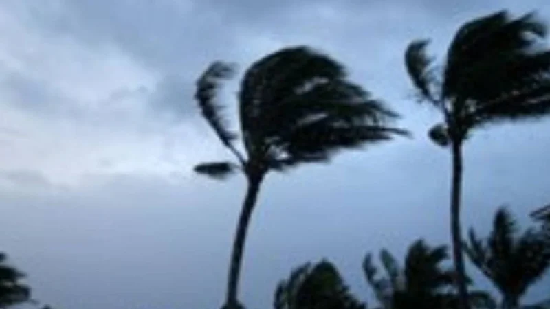
A Wind Advisory has been issued for Oahu, Maui County and Hawaii as trade winds build Friday afternoon into Saturday, bringing breezy to locally windy conditions across the islands. The strongest winds are expected around mountain ridges, downslope areas and valleys, where gusts near 50 mph are possible.
Jennifer Robbins of the First Alert Weather Team has been tracking the same setup that is driving the change: high pressure strengthening to the north. That pattern is expected to push winds into the 25 to 35 mph range, with the usual showers still favoring windward and mauka areas while a drier airmass moves in behind the stronger trades.
The timing matters because this is not a one-island event. The advisory covers Oahu, Maui County and Hawaii at once, which means the shift in the weather will be felt from the more sheltered valleys to the exposed ridges and downslope areas where trade winds tend to hit hardest. For readers checking conditions on a day when the winds are expected to turn up, the headline is simple: this is the window when the islands are most likely to feel the blow.

There is also a catch in the forecast. The trades are expected to strengthen now, but they could get disrupted again mid-week if remnant circulation from weakening Tropical Storm Genevieve drifts into the area where high pressure usually sits in the summer. That leaves the near-term picture clear but the follow-up less so, with the winds building first and the broader pattern still vulnerable to change.
For now, the practical read is straightforward: the strongest push comes Friday afternoon into Saturday, and the areas most likely to notice it are the places already prone to wind. The larger question is how long the Wind Advisory will hold before the next change arrives.
