


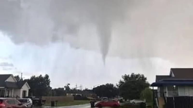
A tornado was observed just after noon in the Appleton-Menasha area on Monday, and tornado warnings were issued for that area and to the south as severe weather continued to move through Northeast Wisconsin. The storms also carried the risk of damaging winds, heavy rain and hail, with wind gusts that could reach 70 mph.
People in the Appleton-Menasha area were already under a fast-moving weather threat that was expected to keep changing through the afternoon. Pete Petoniak said FOX 11 was tracking damaging winds, large hail and heavy rain, and he said there would be another round of possible severe weather between about 2 p.m. and 6 p.m. A Severe Thunderstorm Watch was in effect for most of the viewing area until 3 p.m., and severe thunderstorm warnings were also issued.

That made Monday the first of two possible rounds of severe weather for Northeast Wisconsin. Scattered thunderstorms were expected to develop along a cold front and could become severe, bringing damaging winds, large hail and isolated tornadoes, even as some parts of the area remained under a Heat Advisory until 7 p.m. The setup left little room for a clean break in the weather, which is why the situation stayed active after the first tornado warning was already on the board.
The next stretch to watch was the period between about 2 p.m. and 6 p.m., when the second round was expected to build. If the storms organize the way forecasters feared, the headline threat will not just be rain or thunder, but the combination of hail, wind and another chance for tornadoes before the day is done.
