


Hurricane Genevieve reached Category 4 status and became the season’s first major hurricane as it barreled through the Pacific, a sharp jump in strength that put the storm at the center of weather watchers’ attention.
For people in Hawaii, the search right now is less about Genevieve’s open-ocean surge and more about what another storm may do next. Hurricane Fausto is crossing the East Pacific toward the Hawaiian Islands, and the latest forecast calls for it to weaken before it gets there, even as swells begin building ahead of its closest approach.

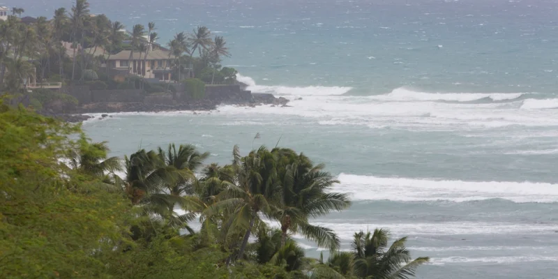
Fausto peaked as a Category 2 storm before the forecast period and is now expected to lose steam as cooler waters and intensely dry air work against it. The FOX Forecast Center said it should downgrade to a tropical storm sometime late Monday or early Tuesday, then track north of the Hawaiian Islands on Tuesday into Wednesday while still sending high surf toward Oahu and Kauai. Swells were expected to build along east-facing shores starting Sunday and spread across the islands through Tuesday.
The outlook is not completely clean, though. Hawaii is technically inside Fausto’s forecast cone, and that leaves a narrow but real question about the track. The FOX Forecast Center said the chance of a farther-south path that would keep Fausto stronger is very low, which is why the main concern has shifted to surf and rain rather than a direct hit. For now, the bigger threat from an east-to-west tropical system remains torrential mountain rainfall, though the surrounding dry air should limit widespread flooding even if localized heavy downpours still develop.
That leaves the region with two very different Pacific storms in view at once: Genevieve, now the season’s first major hurricane, and Fausto, a weakening system expected to pass north of the islands. The next development that matters is whether Fausto follows the forecast and fades on schedule late Monday or early Tuesday, or whether the islands end up closer to the edge of its cone than the forecast now suggests.
