


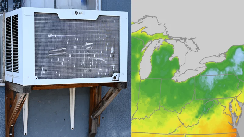
The Midwest and Northeast are getting a short weather gift after days of heat, humidity and wildfire smoke. Over the next several days, much of both regions is expected to see daytime highs in the 70s or low 80s, with some places dipping to the 50s overnight.
That is a real break in July, when much of the Midwest and Northeast usually sits in its hottest stretch of the year. For residents who have spent recent days under sticky air and hazy skies, the difference is simple: 70s or low 80s with dew points in the 40s and 50s feel comfortably dry, while dew points in the 70s can feel sweat-inducing.

The relief follows an especially punishing stretch. The Fourth of July week heat wave brought New York City's first 100-degree high in 14 years and affected Philadelphia during the July 4 World Cup match. About a week later, an intense heat dome seared the Northern Plains and drove triple-digit highs into the Dakotas and Minnesota. The first three weeks of July were among the hottest on record for parts of the East, Midwest and Northern Plains.
That heat helped spark a rash of wildfires in Ontario and northern Minnesota, and the smoke that followed was the most intense seen since at least 1999 in parts of the Midwest and East. Recent rain, cooler weather and firefighting efforts have now cut smoke levels from the fires in northern Minnesota and central Canada, which is part of why the air is clearing now.
The break will not last everywhere. The Plains are expected to turn hotter first, with parts of the Midwest following this weekend into next week. Residents in the Midwest and Northeast are being urged to open windows and air out at night and in the morning while the better air holds, because another smoke episode later this summer cannot be ruled out. For now, though, the next few days offer a rare chance to step outside without the weight of heat and haze pressing down at once.
