


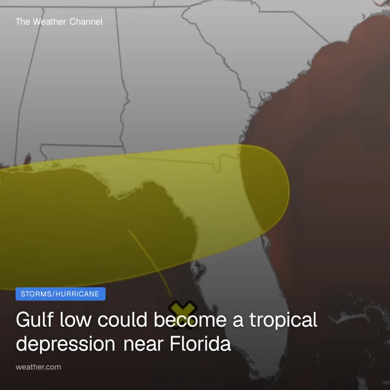
An area of low pressure is forming in the eastern Gulf near Florida and is already helping build thunderstorm activity over the Florida peninsula, with the first signs of possible tropical organization coming into focus this weekend. If the system holds together, it could become a tropical depression by early next week and, under the right conditions, even Tropical Storm Bertha.
That is why the forecast is drawing attention now: computer models suggest the system could improve through the weekend, and hurricane hunters could investigate it on Sunday. The timing matters because tropical development is possible in the Gulf or near the Southeast U.S. coast just as the weekend opens, when the system still has a narrow window to stay over water long enough to strengthen.

The most immediate impact may be rain, not a name. Water in the northeast Gulf and off the Southeast coast is warmer than average, with temperatures in the upper 80s available to feed thunderstorms, and that extra heat can help storms persist if the low remains offshore. Rain and stronger winds could spread toward the Florida, Alabama, Mississippi and Louisiana coasts, while locally heavy downpours are threatened from parts of Florida and the northern Gulf Coast into the Carolinas.
For Florida, the heaviest rain could reach up to 5 inches from west-central Florida to the Big Bend, with the most soaking bursts likely in northern and central Florida. That raises the risk of local flash flooding, especially in urban areas, even though there is not much to worry about yet if you are near the Gulf or Southeast coast. The system is still uncertain enough that its track and structure matter more than its name, because staying offshore is what would give it the best chance to become better organized.
There is also some broader context behind the concern. The region is in hurricane season, El Niño is part of the outlook, and many of the areas in the rain path are currently in drought and can use the moisture. But for now, the key question is not whether the system will exist, only whether it can keep its thunderstorms over water long enough for a Sunday look and a possible early-week upgrade.
