


Tropical Storm Arthur was named and gone within 24 hours on June 18, but it still left a deep mark as it moved over the southeastern Texas coast and then across the Deep South. The storm caused more than $1 billion in damage across the Gulf Coast and killed four people.
That is why Arthur keeps surfacing now: it was brief, but it was not mild. Much of the damage came from flooding far east of the center at landfall, and Cottonport in central Louisiana set a preliminary state record for 24-hour rainfall with 29.06. In other words, the storm’s worst effects did not stay near where the center came ashore.

Arthur also arrived at a moment when the Eastern Pacific was already active, with five named tropical systems, all of them tropical storms. NOAA has forecast up to 22 named systems there this season, and forecasters expect that basin to stay busy because what could be the strongest El Niño ever is feeding the storm machine. Tropical Storm Elida was likely to become the first hurricane of the Eastern Pacific by Thursday evening, then remain a hurricane through Saturday before drier air and increased wind shear weaken it.
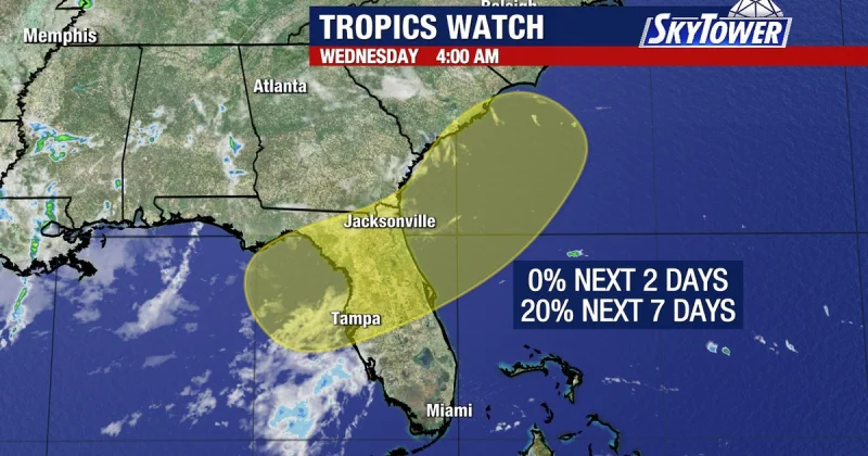
The contrast with the Atlantic Basin is stark. The Atlantic Basin is only beginning to show signs of life, and strong wind shear over the Caribbean is expected to limit activity there over the next few weeks. That means any tropical waves that try to organize in that part of the basin will have a hard time surviving long enough to matter, even as the Eastern Pacific keeps producing storms.
Arthur’s lesson is simple and uncomfortable: a storm does not have to last long to do serious damage. The unresolved question is not whether the basin is active. It is where the next short-lived system will hit hard enough to turn a brief name into a costly event.
