


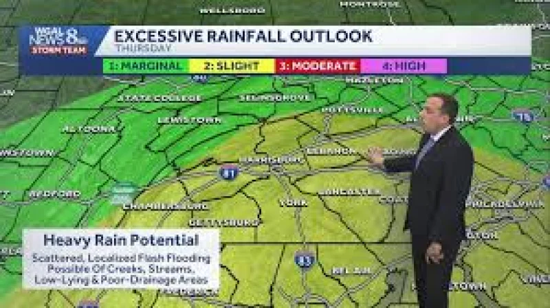
A flood watch goes into effect at 12 p.m. Thursday for much of the Philadelphia region as a line of storms builds through the afternoon and evening, bringing the risk of damaging winds, heavy rain and flash flooding. The watch covers New Castle, Berks, Chester, Delaware, Philadelphia, Montgomery, Burlington, Camden, Gloucester, Salem and Mercer counties.
The alert matters now because Thursday is the main storm day. Conditions stay dry until lunchtime, then scattered showers begin to develop around midday before more widespread showers and thunderstorms arrive later in the day. The strongest storms are expected between 1 p.m. and 9 p.m., the window when the region is most likely to see the heaviest rain and the fastest-changing weather.

Some of those storms could dump 1-2 inches of rain in a very short period, enough to overwhelm drainage in the hardest-hit spots and trigger flash flooding. Even so, the greatest threat is damaging winds, a sign that the same storms carrying the flood risk may also produce the kind of straight-line wind damage that can knock down limbs and interrupt travel.
The setup starts with moisture and humidity surging back into the area Thursday morning, when temperatures begin in the low 70s but feel more like the mid-upper 70s. That sticky air helps fuel the storms later in the day, and most of the activity should move east and off the coast by Thursday night. A smaller chance of showers or storms returns Friday afternoon, but the coverage and intensity should be lower than Thursday’s. A few showers could linger into early Saturday morning before the rain clears out for most of Saturday and the chance of rain falls to near zero by Sunday.
That means the immediate concern is not a long-lasting washout but a short, sharp period of severe weather that could hit hard during the afternoon commute and then move out quickly. By next week, the bigger change may be the heat: temperatures could climb back into the middle and possibly upper 90s by the middle of next week after a brief break this weekend.
