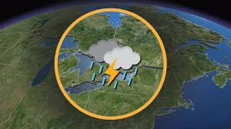
Thursday could bring another round of severe weather to Southern Ontario, and this time the threat looks a little sharper. A strong severe risk covers a large stretch of the province, with damaging wind gusts, hail and a more defined tornado risk all on the table.
For people watching the weather in Toronto, the timing matters because the region has barely had a break. Storms on Canada Day already left damage and power outages behind, and Thursday may be the third severe weather risk of the week for parts of Ontario. Temperatures have climbed into the mid to upper 30s across many places during the ongoing heat event, and Thursday is expected to stay similarly hot, which keeps the atmosphere primed for storms.

The risk is spread wide but not evenly. The tornado threat appears focused in Southwestern Ontario near the Lake Huron shoreline and in parts of Eastern Ontario, including the Ottawa Valley. Damaging wind gusts could sweep from Lake Huron into the GTA and then toward the Lake Simcoe, Peterborough and Kingston areas, while up to Timbit-sized hail is possible, especially across Eastern Ontario, along the Lake Huron shoreline and around the London area. A Strong Level 3 out of 5 severe risk covers Deep Southwestern Ontario, including the Sarnia and London areas, along with the Golden Horseshoe and cities including Toronto, Hamilton, Guelph, Kitchener, Newmarket, Barrie, Orillia, Peterborough and Belleville.
Even with that setup, the timing is still messy. Models are struggling to pinpoint exactly when and where storm development will happen, and that uncertainty is tied to the small-scale triggers that usually decide these events, including lake breezes and outflow boundaries from other storms. Isolated cells could form during the afternoon from the Lake Simcoe area down toward Kingston, while another zone of possible storm development is across the Ottawa Valley and Eastern Ontario during the evening. If storms near Lake Huron organize and merge, they could grow into a larger complex and bring a late-night damaging wind gust risk through the GTA and Niagara region.
That leaves Thursday with the same basic warning and a wider set of possible outcomes: the ingredients are strong enough for a serious storm day, but the exact towns that get hit still depend on where the first cells fire. For now, the best read is that the strongest weather may arrive in waves, not all at once, and the most dangerous part of the day may come after the first storms are already underway.