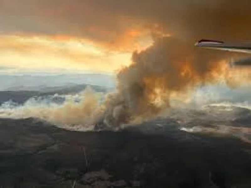
Two lightning-caused wildfires near Caliente, Nevada, swelled to nearly 10,000 acres combined on June 19 and remained 0% contained as crews battled them in hot, windy conditions.
The Kane Springs Fire was mapped at 5,793 acres about 17 miles southwest of Caliente, while the Grapevine Fire was listed at 3,949 acres about 10 miles southeast of the city in the Clover Mountain Wilderness area. Together, the fires had expanded far beyond the roughly 1,000-acre size each had reached when they were first mapped on Wednesday.

That rapid growth is what makes the fires urgent today. A red flag warning was in effect from 11 a.m. to 11 p.m. on June 19, with wind gusts reaching up to 40 mph, conditions that can push flames faster and make it harder for crews to pin down a fire’s edge. The Grapevine Fire was showing extreme fire behavior, including sustained runs, group torching and spotting.
The scale and speed of the fires also leave a harder question hanging over Caliente and the Nevada-Utah border: how much more ground can they cover before firefighters get a foothold? The Nevada BLM asked the public to avoid fire areas and give firefighters room to work safely, but both fires were still at 0% containment even as they grew.
For now, the next development that matters is the first real sign of control. Until one of the fires stops running in wind and dry heat, the acreage totals are likely to keep climbing, and the area around Caliente remains the place most exposed to the next shift in the fire line.