A Tornado Warning was issued for Ashtabula County until 7:30 a.m. on Thursday, even as the broader line of rain and severe storms had shifted south and east into Kentucky and Pennsylvania. The warning came with a morning of strong winds and the chance of another isolated downpour or storm, making the start of the day the most dangerous stretch of the forecast.
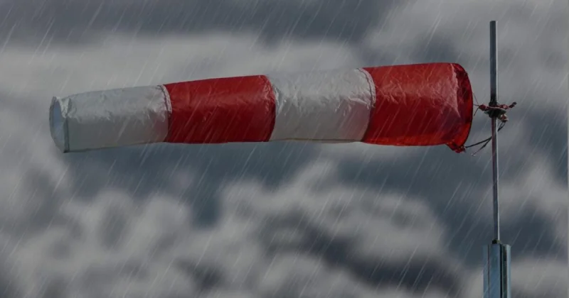
Allan Nosoff appeared live in the weather segment as the warning was being reported, and the timing mattered because travel and outdoor plans were already facing 40-45+ mph winds through mid-afternoon from Cleveland east to the snowbelt. A Wind Advisory was in effect for the snowbelt, where gusts of 30-40+ mph were expected areawide on Thursday, with conditions cooler overall and highs in the low-to-mid-70s.
The setup was not a clean all-clear. Most of the widespread rain and severe storms had moved out, but the atmosphere still had enough energy for an isolated shower or storm this morning, and a few more isolated showers were possible Thursday afternoon. That is why the warning in Ashtabula County stood out: the larger storm area was gone, but one part of the region still needed immediate attention.
The winds were expected to ease after Thursday, with somewhat calmer conditions returning on Friday and Saturday, though a couple of t-showers could not be ruled out. The broader outlook turns more unsettled again with a better chance for rain and storms from Father's Day evening into Monday morning, after Juneteenth and Saturday bring partly sunny skies with only scattered shower chances.
For now, the day’s key question is not whether the weather improves, but how quickly the morning threat passes before the stronger winds and isolated storm chances give way to a quieter Friday.