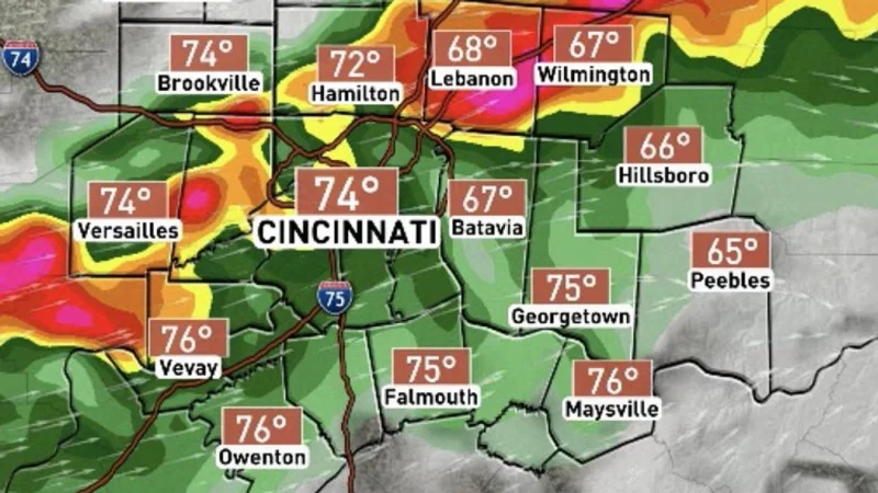
Tornado warnings spread across several counties in the Tri-State area overnight as severe weather moved through the Cincinnati area, with alerts in place for Hamilton County and Butler County until 1:30 a.m., Clermont County until 1:45 a.m. and Adams County, Brown County, Highland County, Dearborn, Ripley and Franklin until 2 a.m.
The warnings landed during the part of the night when the storm threat was expected to be strongest, and they came with a radar-confirmed tornado in the Boone County area at 12:26 AM Wednesday. Duke Energy's outage map showed more than 9,000 people without power, including about 5,000 properties in Northern Kentucky, while heavy rain added a flood watch from 10 p.m. Wednesday through 10 a.m. Thursday.
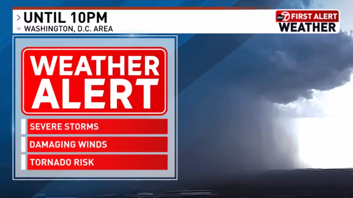
Forecasters had already warned that the main severe threat would arrive between 10 p.m. and early Thursday morning, with isolated storms around 10 p.m., a likely tornado watch from 11 p.m. to 5 a.m., and spin-up tornadoes possible from 2 a.m. through 6 a.m. The Storm Prediction Center lifted the risk to a level 3 in much of Indiana and Hamilton, Warren and Butler counties in Ohio, while everyone else sat at level 2, signaling that the northwestern part of the region faced the highest tornado threat.
The storm system's timing left little room for a clean break. It was expected to leave by 6 a.m. Thursday, which meant the most dangerous weather could ease before the morning commute even as the overnight hours carried the sharpest risk of damaging winds, tornadoes, large hail and torrential rainfall. What remains unanswered is whether the radar-confirmed tornado in the Boone County area caused damage or injuries, because the weather service note did not say.
That matters because the same system was doing more than one kind of harm at once: pushing power out, raising flood concerns and forcing multiple warning windows across the region in the middle of the night. If the forecast holds, lingering showers or storms Thursday morning should end quickly, but the overnight warnings already showed how fast the threat moved from possibility to action.