Parts of the Tri-State were under a tornado warning Wednesday night as severe weather moved into the area, while the National Weather Service kept a Tornado watch in place for the entire Tri-State area until 5 a.m. Thursday. The storm threat is active now, and the most dangerous part of the night is still ahead.
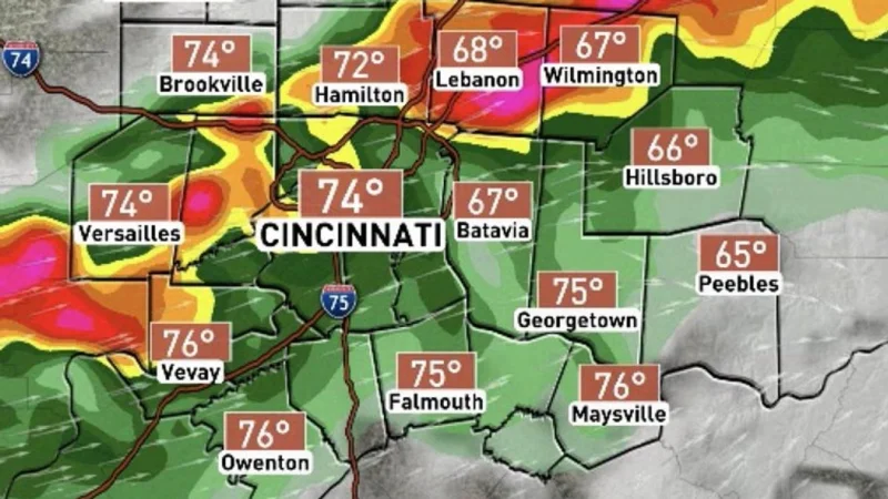
People in the Tri-State are dealing with a fast-moving weather setup that could bring damaging winds up to 70 mph, large hail, heavy rain, flash flooding and even a few tornadoes. The most immediate concern is overnight timing: strong-to-severe storms are expected to move in between midnight and 6 a.m. Thursday, with showers and thunderstorms lasting from midnight to about 5 a.m.

That is why the alert matters tonight. Parts of the Tri-State are under an enhanced risk, level 3 out of 5, for severe weather, while most of the area remains under a slight risk, level 2 out of 5. Strong winds could build overnight with gusts over 35 mph possible before the heavier line of storms arrives.
There is still a gap in the warning that matters to anyone trying to plan around it: the warning covers only parts of the Tri-State, but the specific counties were not listed. That leaves people in the broader area under one headline risk while only some communities face the more immediate warning.
Storms should be clearing between 6 a.m. and 7 a.m. Thursday, but the morning cleanup may not be over quickly. Flooding, downed trees and scattered power outages could make Thursday morning difficult, and lingering showers could hang on until the afternoon before finally moving out. Temperatures will be in the low 80s again, then fall into the upper 50s by Friday morning before rebounding into the upper 70s under mostly sunny skies.