
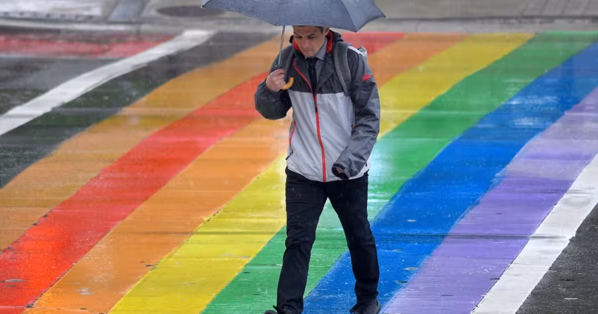
Environment Canada has issued a special weather statement for Toronto, warning that the city could face thunderstorms, heavy rain and strong winds Wednesday night. More than 40 millimetres of rain were expected, along with strong southwesterly wind gusts, as wet and windy conditions were projected to begin early in the evening and last until Thursday morning.
That timing matters because the warning lands just as people were heading out for a World Cup viewing in Toronto, where weather can turn a simple outdoor plan into a scramble for shelter. The statement also said severe thunderstorms were possible late in the evening and overnight, with heavy rain and strong wind gusts described as the main concerns.
The setup behind the warning is a strong low-pressure system moving toward the area, which is expected to increase showers as it gets closer. In practical terms, that means the worst of the weather may not arrive all at once, but the city could still see a long stretch of unsettled conditions that makes travel, outdoor gatherings and late-night plans more difficult.
Joshua Smith, who reported on the weather story, noted that Environment Canada could still add more watches or warnings as the low-pressure system’s path becomes clearer. For now, the warning is enough to put Toronto on notice: the night may start wet, turn stormier later, and remain unsettled into Thursday morning.
That is the part readers should keep in mind. The question is no longer whether Toronto Weather will be active overnight — it is how much rain and wind the city actually gets before the system moves on.