KWQC warned Wednesday evening that the severe weather threat would stretch into Thursday, with multiple rounds of strong to severe thunderstorms expected across the Quad Cities viewing area. The forecast carried damaging wind, hail and an evening tornado threat, while Thursday’s heat and humidity were also set to surge.
That warning matters now because the next round of storms was already moving toward the area Wednesday evening, and more could follow Thursday morning, afternoon and evening before a front finally pushes through later in the day. Erik Maitland urged viewers to stay informed and stay safe Wednesday evening and Thursday, underscoring how quickly conditions could turn rough.
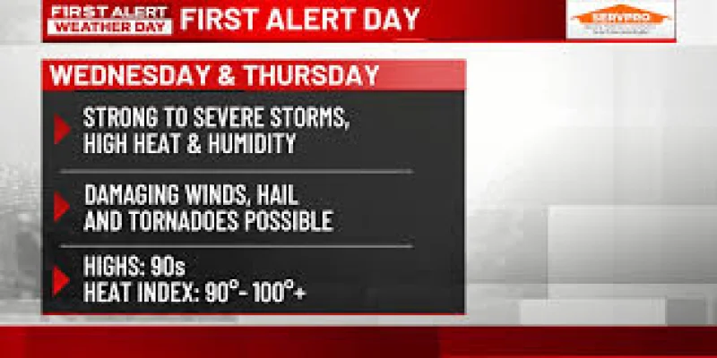
Maitland said the area was under “FIRST ALERT DAYS THROUGH THURSDAY FOR HEAT AND STORMS,” and said there would be “multiple rounds of strong to severe thunderstorms.” He also noted that “the evening rounds will bring the additional threat of tornadoes.”
Thursday was expected to feel oppressive even outside the storms. Highs were projected to reach the 80s, with heat indexes climbing to 90 to 100+ in the afternoon, adding another layer of risk for anyone working outside, traveling or trying to get through the day between storms.
The only break in the forecast was timing. Some models were getting the front through earlier, which could end the storm threat before mid-evening, but that was not the consensus. If the front slows, the region could still see the final round of strong storms later Thursday, with the tornado risk tied to those evening cells.
Friday was expected to bring improving conditions, followed by dry weather through the weekend with less heat and humidity. Highs should stay in the 80s through Saturday, though some thundershowers are still possible. By Monday and Tuesday, temperatures may only reach the 70s, with another chance for rain.
The forecast covers KWQC’s First Alert Days for heat and storms, a label reserved for weather that can be inconvenient, hazardous or potentially dangerous across the Quad Cities area. For now, the key question is not whether the weather will change, but exactly when the front gets through and whether the evening tornado threat materializes before conditions start to ease.