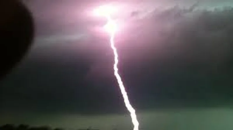
Showers and thunderstorms were expected to move into the Chicago area early Friday, with steadier rain likely after noon and a low-level severe weather threat later in the day. Forecasters also said locally heavy rainfall could develop Friday afternoon and evening.
That matters now because the latest update came at 7:30 am Friday, and people across the region were trying to pin down when the first rain would reach them, especially near O'Hare. Around midnight, radar was still clear in northeast Illinois even as showers and thunderstorms were already approaching from eastern Iowa and western Wisconsin, leaving the exact timing of the first drops uncertain.
For Friday, the forecast called for a chance of showers and thunderstorms before noon, then showers likely and possibly a thunderstorm between noon and 4:00 pm, followed by another chance of showers and thunderstorms after 4:00 pm. The day was expected to stay mostly cloudy with a high near 83, a 70% chance of precipitation and new rainfall amounts of between a quarter and half of an inch.

The severe weather risk was modest but real. Forecasters put Friday afternoon and evening at level 1 out of 5, with the bigger concern focused less on widespread severe storms and more on pockets of heavy rain. Sprinkles or periodic light showers were likely before noon, then steadier rainfall periods were expected through about 4:00 pm, the window when rain could become most noticeable for commuters and anyone with outdoor plans.
The pattern does not end with Friday. Periodic showers were possible through Sunday, with plenty of dry breaks between them, and the chance for showers and thunderstorms continues into Monday after 1 pm. Saturday carried a 50% chance of showers and thunderstorms mainly after 7 am, Sunday was forecast to be partly sunny with a high near 81, and Monday brought another round of shower and thunderstorm chances in the afternoon.
The one thing the forecast still did not pin down was the first rain at O'Hare. That timing may stay fuzzy until the approaching line of showers actually reaches northeast Illinois, but the broader message is clear: Chicago weather is turning unsettled now, and the region faces off-and-on rain through the start of next week.
The forecast package also included a separate hot-weather block that called for sunny conditions and highs near 107 on Friday and 106 on Saturday, underscoring that the Chicago-area rain threat is part of a broader weather picture rather than a single isolated system.