


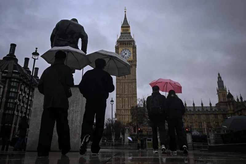
London is set for heavy rain next week after days of record-breaking heat across the UK, and the capital’s temperature is forecast to slide from 30C on Saturday to 24C on Sunday before rain moves in on Monday. By the end of next week, it could feel more like early spring than midsummer, with temperatures in London falling as low as 11C.
The change matters now because the city has only just come through a run of extreme heat that pushed temperatures to 35.1C in Kew Gardens, west London, on Monday. England and Wales then recorded the hottest days in May on record on Tuesday, underlining how quickly the weather has swung from one extreme to another.

For gardeners, growers and farmers, the incoming rain will be a relief after a dry spell that has left the ground parched. Greg Dewhurst said the shift should bring much-needed and welcome rain, with showers expected to start in London on Monday and some level of rain forecast every day until at least next Friday. Bright spells are still expected this weekend, but the cooler, wetter turn will be more noticeable in the north and west on Sunday, where showers are likely to be heaviest and most frequent.
That does not mean the heat is gone for good. Dewhurst said the middle to second half of June already shows signs of settling back down under higher pressure, suggesting an unsettled start to meteorological summer before warmer weather rebuilds later in the month.
The wet break also arrives after a deadly heatwave. Charlie Noble, 16, became the 12th person to die in a water-related incident during the spell when his body was recovered in Stirlingshire, Scotland, on Thursday, a grim reminder that the shift in the forecast does not erase what has already happened. For London, though, the immediate answer is clear: the city is moving out of the heatwave and into a stretch of rain, with the sharpest cool-down due by the end of next week.
