


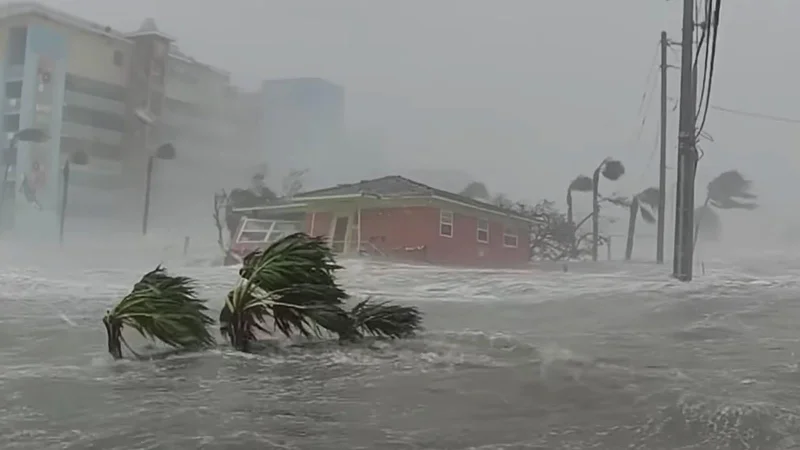
Atlantic hurricane seasons may soon lurch from quiet to punishing more often, with a 2024 study projecting a 36% increase by 2050 in the variance of Atlantic tropical cyclone activity. The shift would make years like 2005, when the basin produced 28 named storms, more likely to arrive in bursts instead of as rare outliers, while the odds of a high-impact extreme season could rise about fourfold during the 2020 to 2049 period compared with 1970 to 2019.
The research adds to a growing body of climate work showing that the unprecedented heat humans are adding to the climate system is disrupting the atmospheric circulation pattern that helped shape civilization. In the Atlantic, where hurricane activity already has the largest year-to-year variability of any tropical cyclone basin on Earth, that disruption is expected to show up not just in stronger seasons, but in wider swings between hyperactive years and quiet ones.
The 2024 paper, Projected increase in the frequency of extremely active Atlantic hurricane seasons, says the main drivers of the change are increasing variability in wind shear and major swings in atmospheric stability over the tropical Atlantic. It also found that the extra activity in hyperactive seasons would be concentrated farther from land, over the eastern and central Atlantic, with less activity over the Caribbean. That does not make the seasons safer. It changes where the risk builds first and how quickly it can move toward populated areas.
A separate 2022 study, Extreme Atlantic hurricane seasons made twice as likely by ocean warming, reached a similar warning from a different angle. It found that ocean warming from 1982 to 2020 doubled the probability of extremely active hurricane seasons over that period. The authors did not clearly separate the effects of greenhouse gases from the effects of reduced aerosol pollution particles, leaving some of the mechanics unresolved even as the trend pointed in one direction.
The danger of back-to-back storms was laid bare in 2020, the worst sequential hurricane disaster on record for the Atlantic, when Nicaragua and Honduras were hit in rapid succession. Hurricane Eta made landfall in northern Nicaragua on Nov. 3, 2020, as a Category 4 storm, then lingered for three days over Central America and adjacent waters while dropping catastrophic amounts of rain. Two weeks later, Hurricane Iota struck as another Category 4 storm in Nicaragua, only 15 miles from Eta's landfall point.
Together, Eta and Iota left more than 300 people dead or missing and caused an estimated $738 million in damage in Nicaragua, equal to about 6% of the nation's GDP. That sequence is now one of the clearest warnings that an Atlantic season does not have to be the busiest on record to become devastating. When the basin turns active, it can do so repeatedly and in close succession, giving communities little time to recover before the next storm arrives.
The new work suggests that pattern could become more common by midcentury. For forecasters, emergency managers and coastal residents, that means the headline number in any given season may matter less than the spacing between storms and the places they track. For people in the Atlantic basin, the next challenge is not only whether a season will be active, but whether the atmosphere will keep delivering extremes in clusters.
