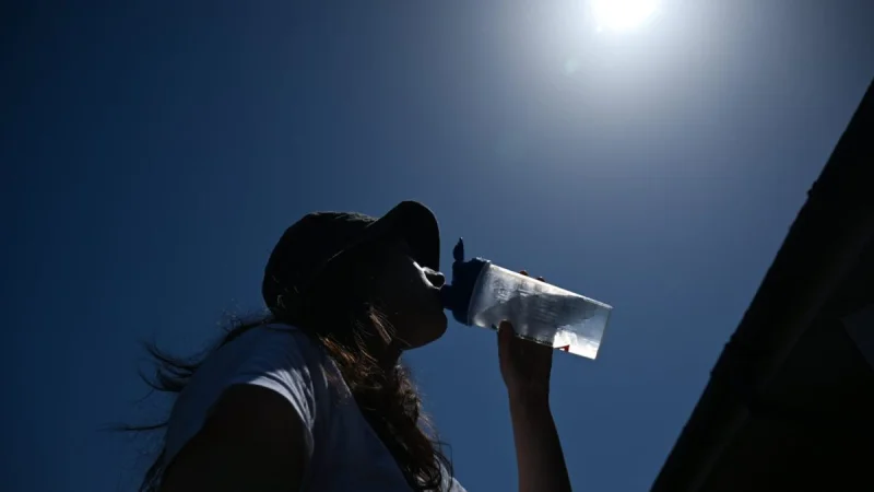
Heatwave conditions across the UK are ending this weekend as fresher Atlantic air moves in, bringing a sharp drop from the scorching temperatures seen earlier in the week. Forecasters said the change would be felt first in the north and west before spreading east.
Kathryn Chalk said fresher air was moving in as the weekend progresses, and that the weather turns downhill at the start of meteorological summer. That is why people are searching for the UK weather forecast cooler temperatures now: after days of extreme heat, the question is how quickly the country will cool and how much rain will follow.
The shift comes after the UK endured its hottest-ever May bank holiday weekend, with 35.1°C recorded at Kew Gardens in London on Tuesday 26 May, beating the previous May record of 32.8°C. On Saturday, a peak of 30°C was still expected in parts of the south and east of England, but the cold front moving in from the north-west is already dragging conditions back toward normal.
By Friday, Northern Ireland and much of Scotland were already seeing fresh, damp weather, with thunderstorms and downpours possible. By Sunday, temperatures were expected to peak at 24°C in the South East and just 15°C in north west Scotland, a clear sign that the hottest spell has passed for now.
The cooler turn is not expected to stay dry for long. Spells of rain are forecast on Monday, heavy and thundery showers on Tuesday and further rain on Wednesday, with Becky Mitchell saying temperatures in the first half of June should be around average. Chalk added that more low pressure systems could bring welcome rainfall and some relief from the heat.
There is a catch for anyone hoping summer has settled into a pattern. Long-range forecasts suggest drier weather may become more dominant in the second week of June, and from middle-June onwards high pressure is expected to take charge with dry, settled conditions and temperatures likely to trend above average. The warm weather may be gone for this weekend, but it does not look finished for the month.