


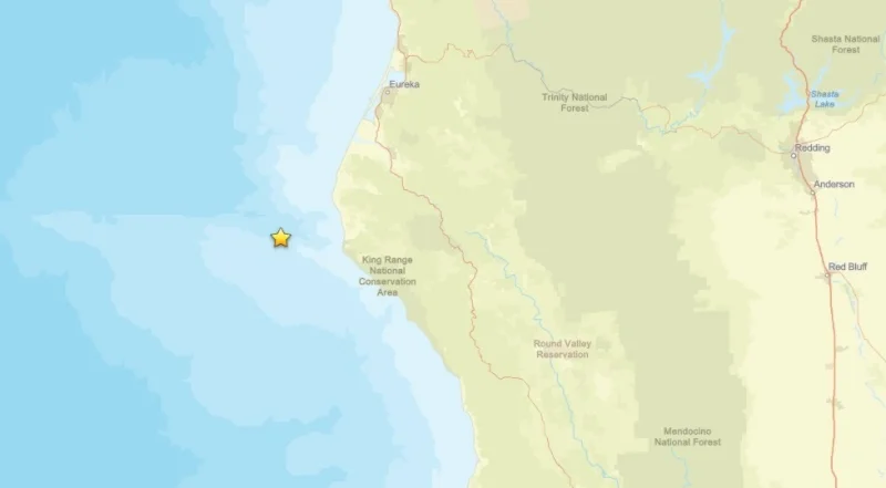
A minor earthquake struck in the Pacific Ocean off Northern California early Monday, with the U.S. Geological Survey reporting a magnitude 3.2 quake about 18 miles west of Petrolia in Humboldt County. The temblor was reported at about 6:53 a.m. PT and produced no reports of damage.
The quake landed near the Lost Coast, a stretch of shoreline in northern California that has earned a reputation as a seismic hotspot. For people in and around Petrolia, it was another reminder of how often the ground shifts in this part of the state.

The Monday tremor came after a swarm of earthquakes in the ocean off Humboldt County jolted the same area in May 2025, when the largest event reached a reported magnitude of 4.6. That sequence was later overshadowed by a much stronger 6.4 quake just offshore near Eureka in December 2025, when some homes were knocked off their foundations and widespread power failures followed.
The pattern leaves little doubt about the ground beneath this coast: the shaking there has been repeated, and it has been real. Petrolia, meanwhile, sits in a place with deep ties to California’s early energy history, as the site of the first commercially successful oil well in the state, drilled in 1865.
Monday’s quake was small, but it fit into a larger story that has been building for years along the Lost Coast. The question for residents is not whether the region will shake again, but how much force the next one will carry when it does.
