A stalled front is set to team up with an upper low this afternoon and trigger storms west of Austin, with the first round expected to reach the Hill Country from 4 p.m. to 7 p.m. The complex should then push southeast and move into the I-35 corridor between 7 p.m. and 10 p.m., bringing storms to most of the area by evening.
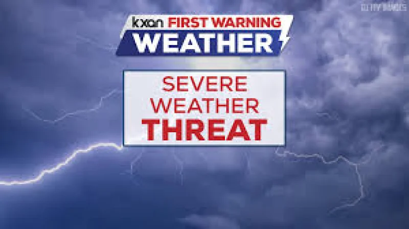
Meteorologists Zack Shields and Adaleigh Rowe said the main concern with this round is strong damaging winds. Only the Hill Country is under a marginal risk for small hail and gusty winds, and another round of storms could clip the area in the middle of the night.
The timing matters because the region has already been seeing ongoing rain, and the next few days are expected to add to that burden. Friday should dry out and warm up, but rain and storm chances rise again this weekend as the main upper low pivots into Texas late Saturday afternoon and Sunday afternoon.
That weekend setup is likely to keep the weather active. Saturday is expected to bring numerous storms, Sunday scattered storms, and Monday isolated storms, with another 2 to 5 inches of rain possible over the next seven days. Localized flooding is expected to be a bigger concern this weekend as the rain keeps piling up across the Austin area.
For people trying to track the changing forecast, weather alerts, radar, hourly forecasts and seven-day weather information are available through the FOX 7 WAPP. The short-term window favors damaging wind threats this evening, but the larger story is the repeated rain that could turn already wet ground into a flooding problem by the weekend.