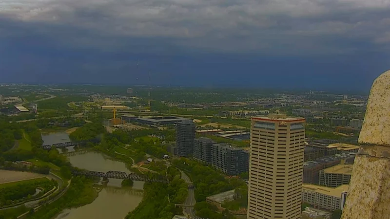
Showers and thunderstorms are expected to build across Columbus throughout the weekend, bringing a damp start to Saturday before the rain becomes steadier later in the morning. Storm chances are expected to continue into the afternoon and evening, and some of the stronger cells could produce gusty wind and hail. Temperatures are expected to top out in the upper 70s.
The strongest storms should be limited, but the risk is not zero. Storm Team 4 said the area is under a marginal risk, level 1 out of 5, for severe weather, which means a few storms may briefly turn stronger even as most of the rain remains scattered. A few lingering showers are expected tonight, then most of the precipitation should wind down by daybreak Sunday morning.
Once the rain fades, the air changes quickly. Winds are expected to become incredibly light overnight, and patchy fog may form in the places where the air stays most saturated. Overnight temperatures are expected to fall into the lower 60s, setting up a much warmer Sunday.
Sunday is expected to bring some of the hottest air this year so far, with highs in the mid 80s and only a small chance of an isolated pop-up shower or two. Most neighborhoods are expected to stay dry. After that, Monday and Tuesday are expected to push temperatures close to the 90 degree mark, keeping Columbus on a short run of summer-like weather before another round of unsettled conditions arrives.
That next chance for showers and storms is expected between Tuesday afternoon and Wednesday, before a cooldown arrives by the end of the week. The break from the heat may not last long, but for Columbus, the more immediate story is a fast transition from weekend storms to a hot, mostly dry stretch that peaks early next week.