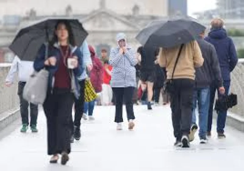
Arctic air is set to keep pushing across the UK and leave much of the country feeling more like winter than mid-May, with temperatures expected to stay below the seasonal average for most people and turn colder again from Wednesday.
Tuesday began on a frosty note across much of England and Wales, while a weak weather front over Scotland and Northern Ireland kept the frost away there and brought a little rain. Daytime temperatures were expected to recover briefly to around average, in the range of about 12-17C from north to south, but that short-lived calm is not expected to last.

From Wednesday, the cold is due to tighten its grip again as air arrives from northern Scandinavia and the Arctic circle, leaving temperatures around 3-7C below average. Low pressure will become more dominant, bringing strengthening winds and showers, some of them wintry, with snow possible over the higher ground of Scotland. Further ground frost is also likely, even as strong spring sunshine breaks through in places.
The pattern is a reminder of how unsettled spring can be in the UK. It is a season that sits between winter and summer, so sharp swings in temperature are common, and southerly winds can at times drag in much warmer air from the Mediterranean and lift readings into the high twenties. That is a long way from the current spell, which comes after last week’s spring warmth was already described as a distant memory.
The contrast is stark when set beside the year’s early peak of 26.6C, recorded at Kew Gardens in London in early April. For now, though, the more immediate story is cold mornings, gustier winds and showers that may briefly turn wintry before lighter winds return later in the week. The real question is how long the Arctic feed will keep the UK locked below normal, because for the moment the warm spell people enjoyed last month looks firmly out of reach.